The scene here is dominated by Murrayfield Stadium, named after Archibald Murray who bought the ground from the Nisbets of Dean in 1734. The Scottish Rugby Union acquired the ground from the Edinburgh Polo Club and the international stadium was built after the First World War. While excavating the ground, a coffin containing the skeleton of a soldier and his musket were found, possibly one of Cromwell’s troops who encamped here. Roseburn Park takes its name from a burn draining into Corstorphine Loch. The loch was originally a glacial lake, giving rise to a large area of marshland, which was finally drained in the 17th century. This area flooded dramatically in April 2000 and has or will (depending when you hear this) been extensively modified by a flood defense scheme.
The area has long been a popular spot for the river’s wildfowl. A pair of swans nest here and ducks, coots and moorhens can also be seen.
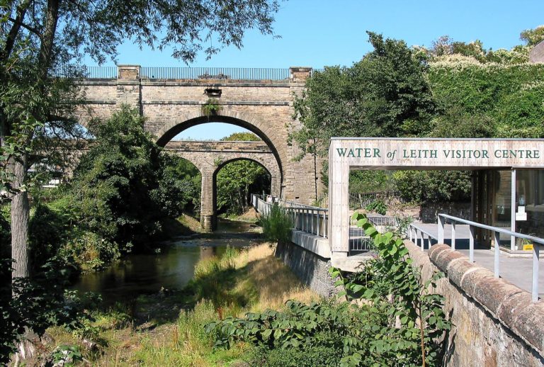
The path downstream now takes a short zig zag through the streets and across Corstorphine road, a main thoroughfare in the city. Take care on the crossing and watch for the walkway sign returning you to the river bank on Roseburn Cliff. This section of path can also become flooded during high water. This area is know as Coltbridge and you can see the fine old stone bridge near Corstorphine road before you rejoin the walkway and will soon pass under the Coltbridge viaduct, once the Granton Branch of Caledonian Railway, now the North Edinburgh Cycle Track to Newhaven. The next audio point is at Bells Mills near footbridge to the Gallery of Modern Art.
–
Video created by Bryce Morrison, Edinburgh U3A Movie Makers Group


