Management
All aspects of the management of the river, its major uses, resource and issues are covered by The Water of Leith Management Plan 2020-30. Seven topic areas have been identified and each contains an aim, list of objectives and a series of actions to be undertaken with partners. The plan has been prepared for The Water of Leith Action Group with funding from most participating partners and produced by Helen Brown, Trust Manager at the Water of Leith Conservation Trust.
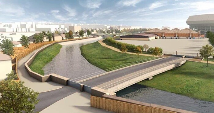
Coalie Park Improvement Project
At the end of the tidal flow of Edinburgh’s river lies Coal Hill – a coal depot, railway yard and place for ship repair. Regenerated in the 1980’s, the area became known as Coalie Park. The site is an important ‘blue and green space’ and access route for the local community while being home to a surprising variety of wildlife. But there is great pressure on this dilapidated space now plagued by littering, graffiti and anti-social behaviour. Leith is also one of the most densely populated areas in Scotland and lacks quality greenspace for its residents and wildlife. During this project, we aim to:
- Enhance the ‘blue and green space’ for biodiversity.
- Improve the flow of user movement and re-estabilsh peoples’ connection with the Water of Leith.
- Engage with local people and interested groups to see what practical steps can be taken to improve the area, what improvements local people would like to see in the area going forward.
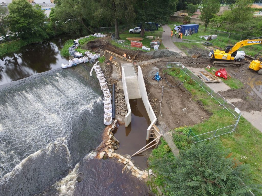
Flooding
Following major flooding in April 2000, the City of Edinburgh’s flood prevention scheme has now been implemented. Harlaw, Threipmuir and Harperrig reservoirs were purchased by the city and modified to increase storage capacity from excess rainfall. Walls and other flood defence measures have been constructed between Murrayfield and Bonnington. A re-modelling exercise is being carried out to include the impact of climate change on the river system and the efficacy of the flood prevention scheme. For more information on flooding in the city, visit https://www.edinburgh.gov.uk/flooding
If you are interested in the river’s level of flow, please click on this link to SEPAs site and search for the Water of Leith . https://www2.sepa.org.uk/waterlevels/
Invasive non native species (INNS)
INNS are present at several locations along the river. Spraying Giant Hogweed with glyphosate has been carried out since 2000 but recent projects have begun to study the efficacy of alternative methods (read more about this here). Himalayan Balsam is widespread and volunteer tasks are conducted annually to hand pull new growth. Japanese Knotweed populations are localised and managed by the WOLCT and CEC Grounds Maintenance teams while we work towards a long-term strategy for the control of all these species. Other plants, including few flowered leek, yellow archangel, snowberry and rhododendron also cause concern. Mink have been recorded on the river although their impact on other species remains unknown. Currently, there have been no records of any invasive crayfish species.
Climate Change and Adaption
Changes in seasonal rainfall and extreme weather events may cause the river to flash flood more frequently in winter and experience drought conditions in summer, potentially impacting on wildlife habitats, affecting properties near the river and the ability of the river to cope with point source and diffuse pollution incidents. This potentially impacts on wildlife habitats, neighbouring properties and the river’s ability to cope with pollution incidents. We continue to work with partners towards enhancing the soils, vegetation, floodplains and wetland habitats to reduce the risk of flooding. We are also looking into ways to support the river’s wildlife as they adapt to climate change and the pressures from increased public use of the Water of Leith walkway.
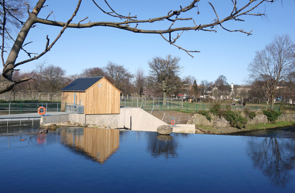
Micro Hydro Generation
Two micro-hydro schemes have been installed along the Water of Leith: Harlaw Hydro and Saughton Park Archimedes screw. A number of other sites also have the potential to generate renewable energy and provide an interesting link to the river’s industrial past. However, the impact on biodiversity and fish populations, and measures to “re-naturalise” the river are important considerations for the Trust.